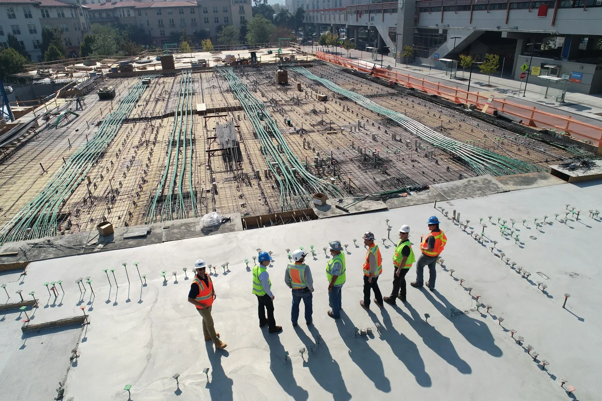
The study starts on the ground: survey levels, existing access, drainage, neighbouring uses, and the setbacks and coverage the local development rules impose. Nothing is proposed until those numbers are on paper.
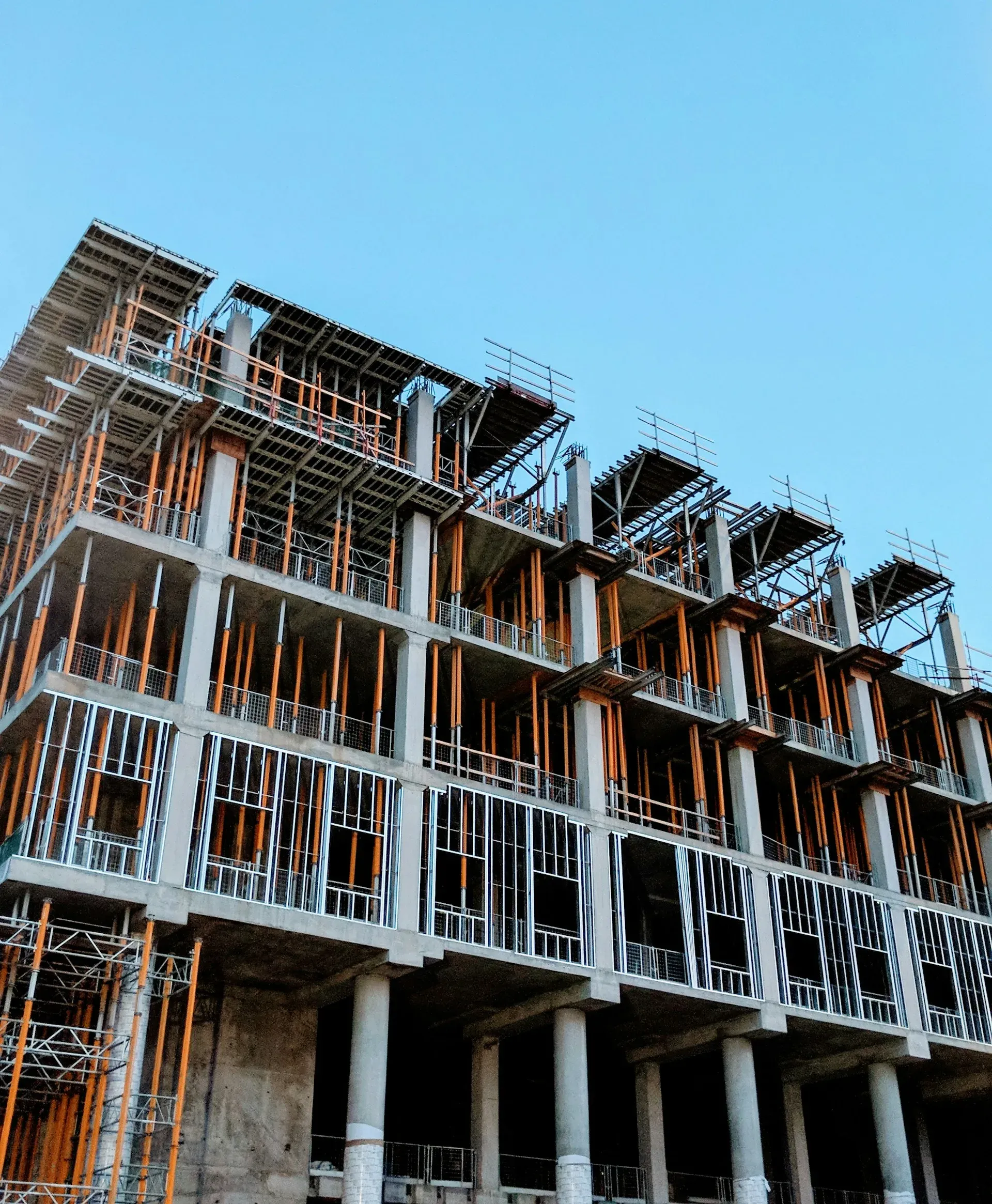
What comes out of it is a phasing instrument rather than a picture. Blocks are placed so the first phase can be built, occupied and serviced while later phases are still open ground, and so the utility corridors laid in phase one still serve the last building.